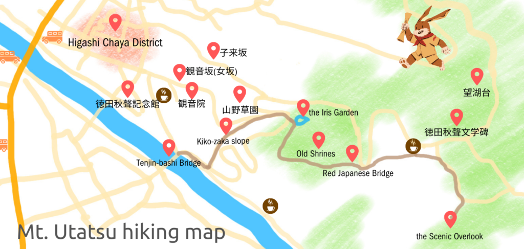


Mt. Utatsu, or Utatsu-yama, in Japanese (pronounced like “woo-tah-tz”), is a mountain located in Kanazawa City, and its height of only 141 meters (about 462 feet) makes it very suitable for a short hike. Let’s explore the mountain with its many monuments, some Shinto shrines, and the scenic overlook at the top. It takes only 30 minutes to walk one way.
Let’s start with Tenjin-bashi Bridge
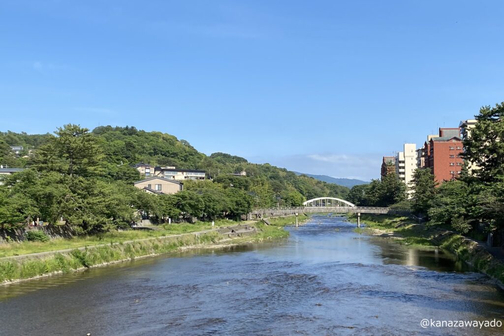
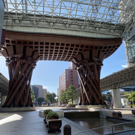
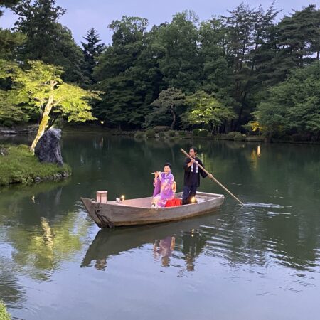
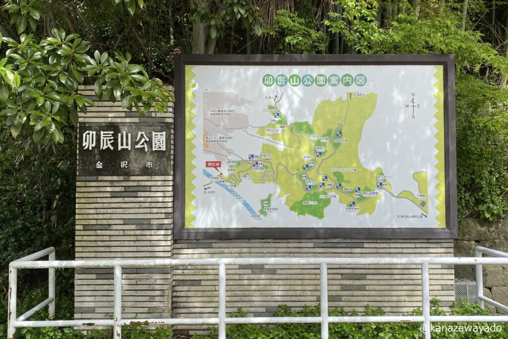
Near Higashi Chaya District, the Asanogawa River has some classical bridges. Tenjin-bashi, which is an arch bridge, is one of them. Near the bridge, at the foot of the mountain, you can find the map of Mt. Utatsu Park.
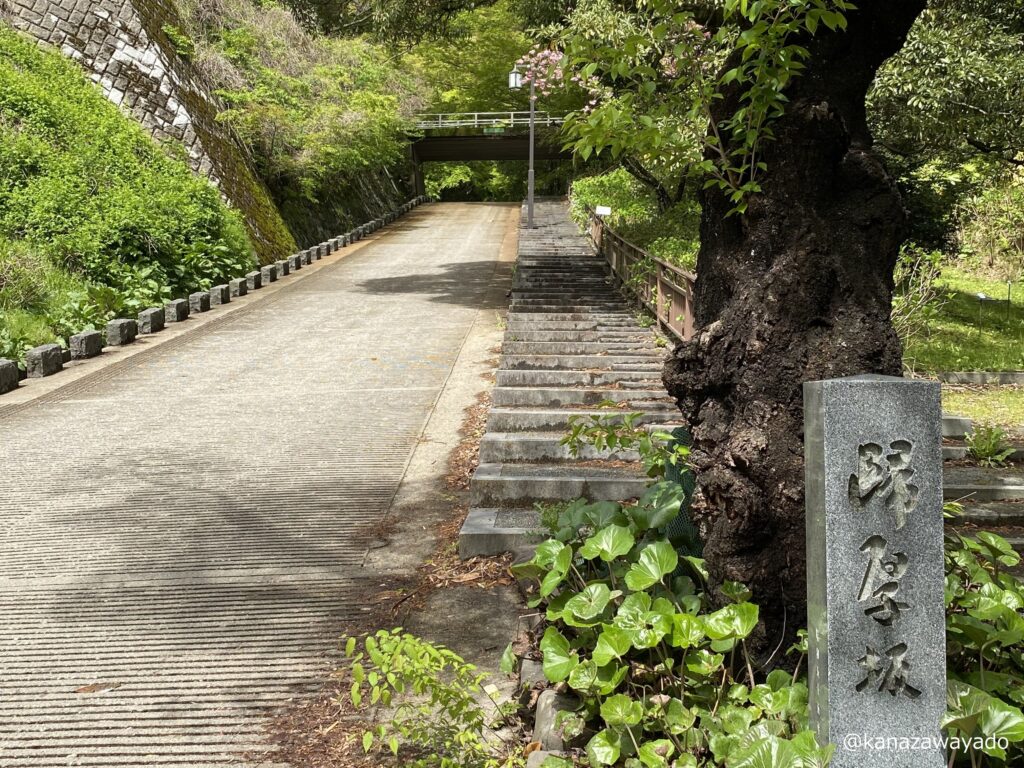
Take the Kiko-zaka slope to the Iris Garden
To climb the mountain, you can either walk along a roadway or use trails and slopes. Using the trails is recommended because they are much shorter cut than the road and there sre more places to see along the way. The Kiko-zaka is a slope from the foot of the mountain and reaches an iris garden on the hillside. About the entrance of the slope, see the photo below.
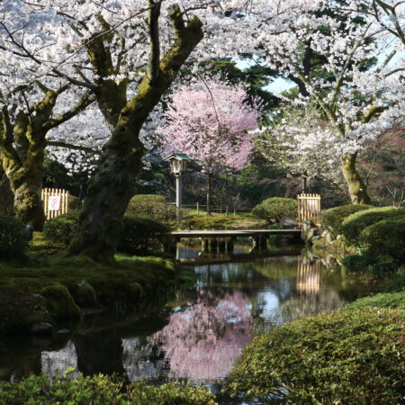
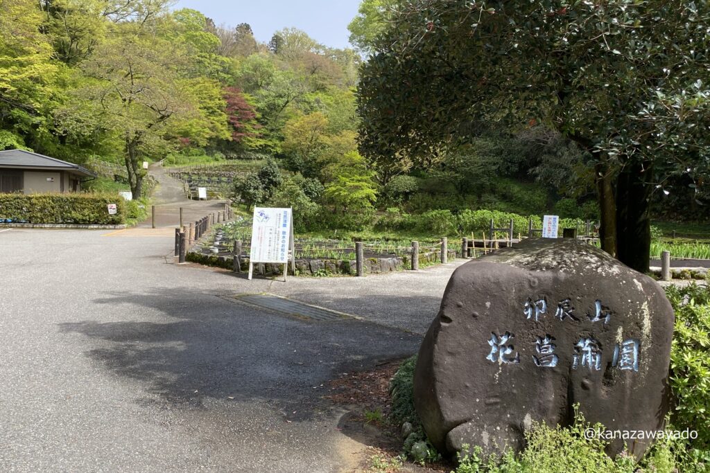
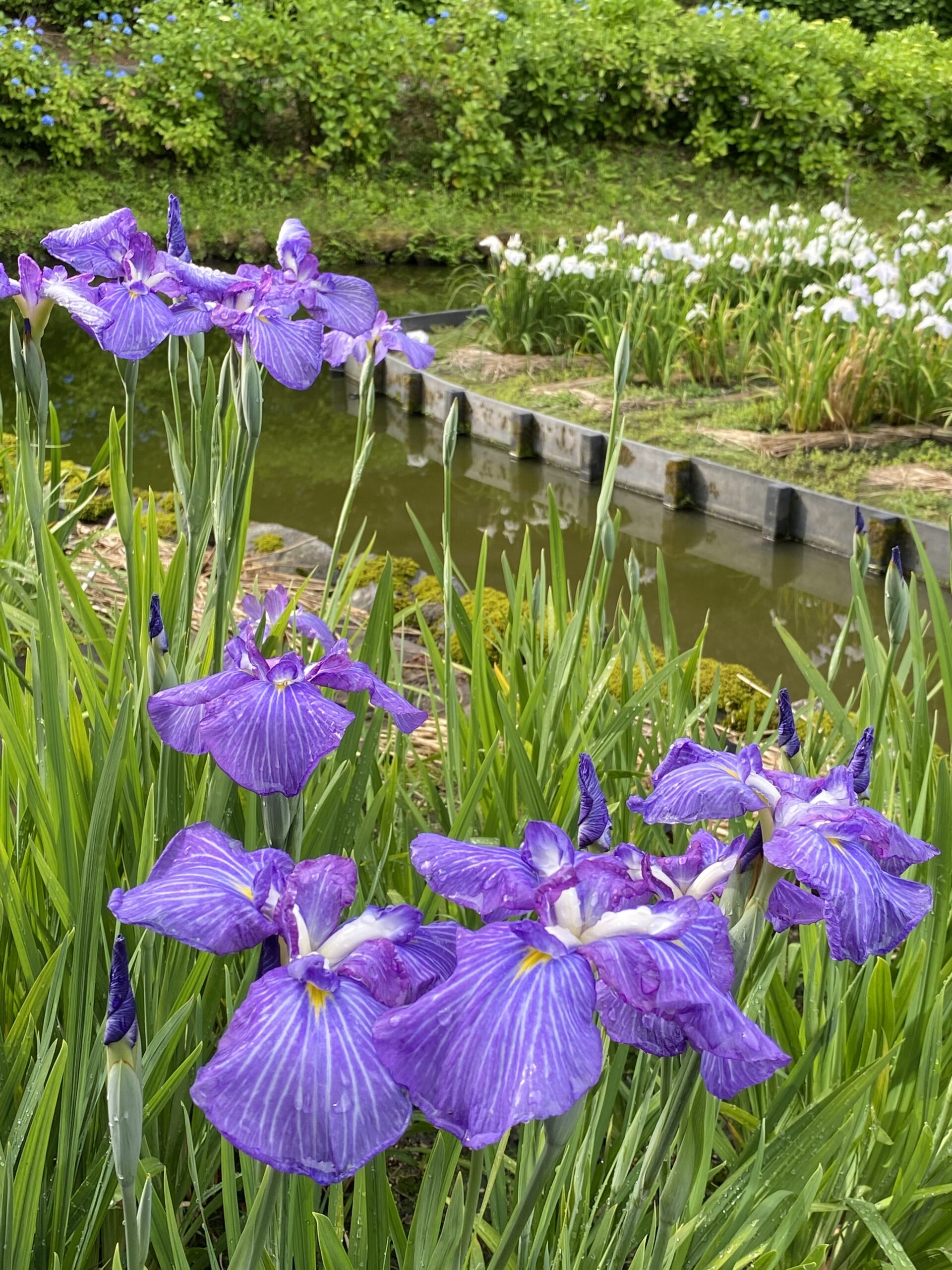
Utatsu-yama Iris Garden
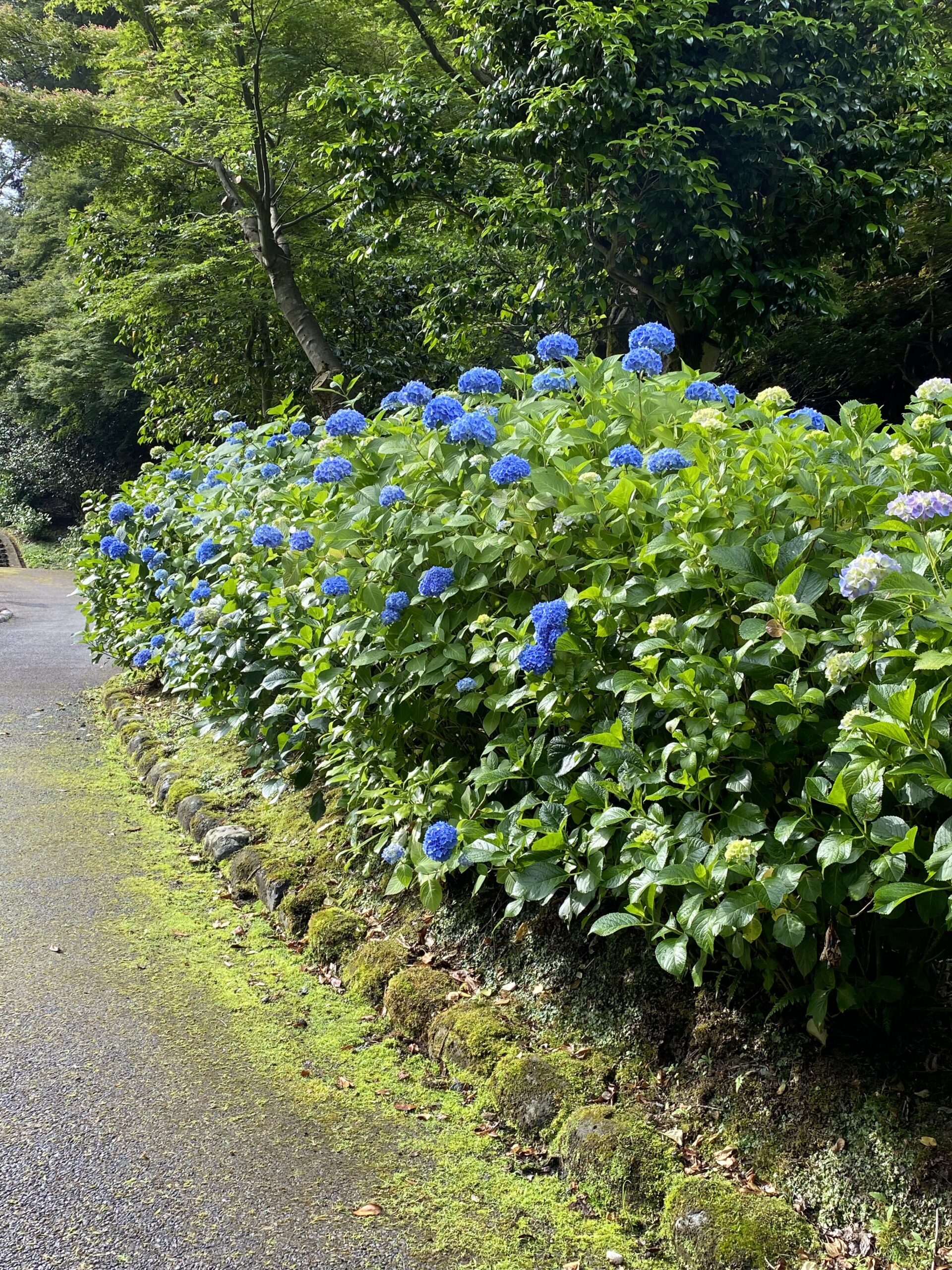
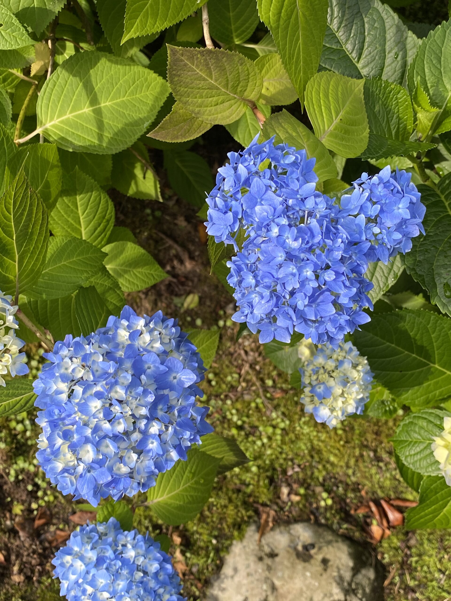
After climbing up Kiko-zaka, out of breath, you will come to the front of the Iris Garden. This garden is much loved by the public for its irises and hydrangeas that bloom from June to July. If you come by car, there is a free parking.
The three old Shrines in Mt. Utatsu
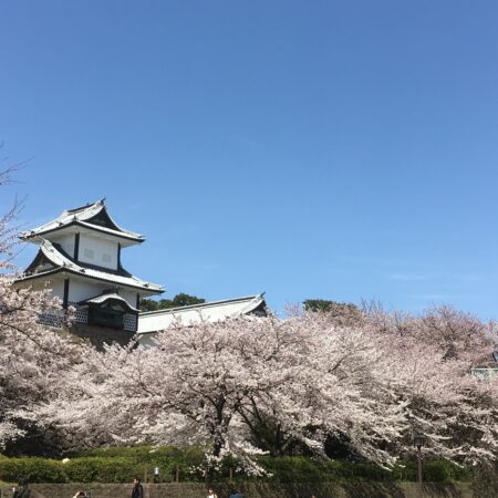
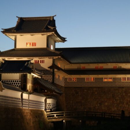
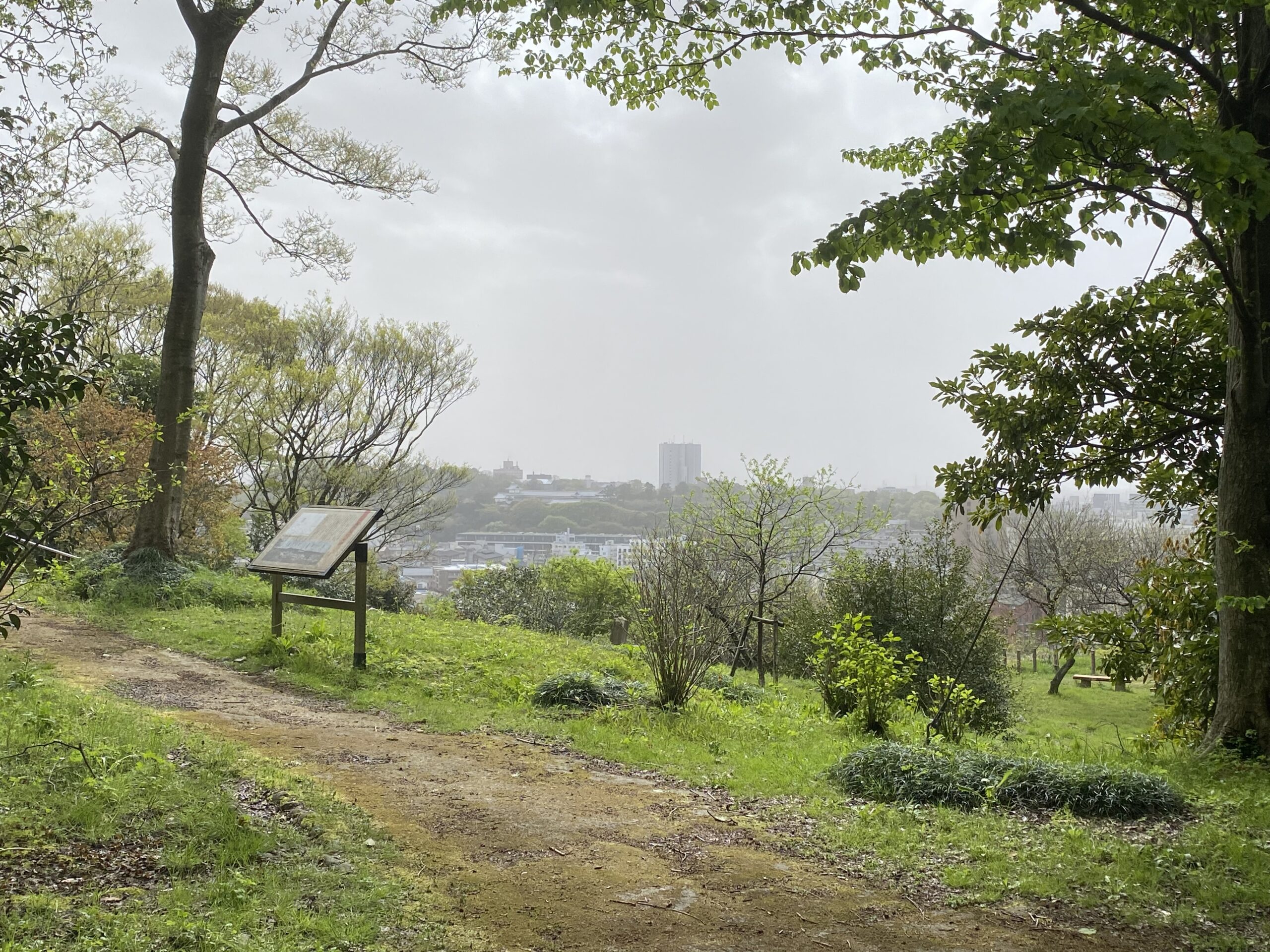
There is an old torii gate on the right side of the iris garden. Passing through the torii gate, walk up a gentle slope and you will soon come to an open area. From there, you can see the buildings of Kanazawa Castle up close. It was from here that the townspeople once cried out to the lord, “I’m starving for rice,” to complain about their plight in 1858.
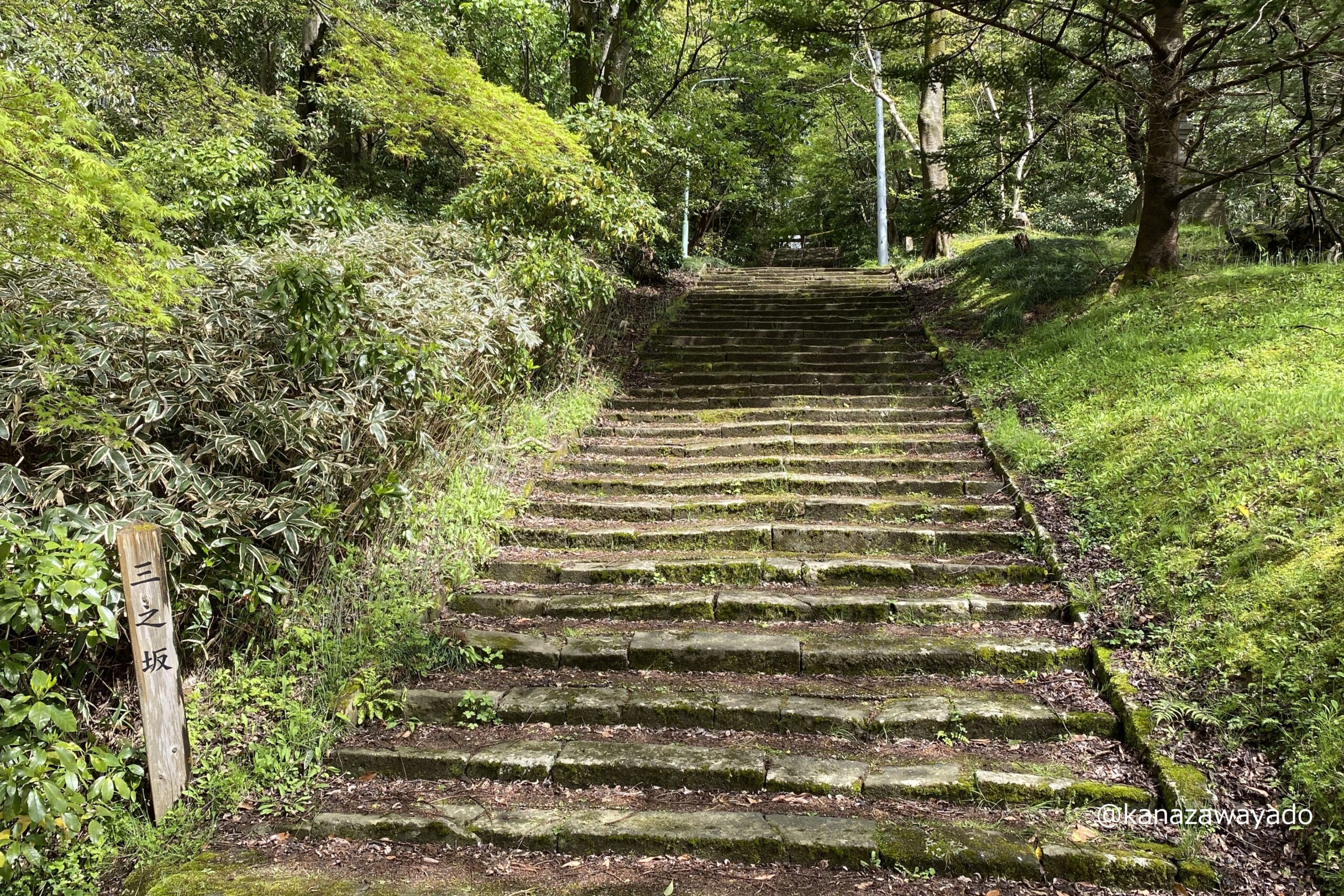
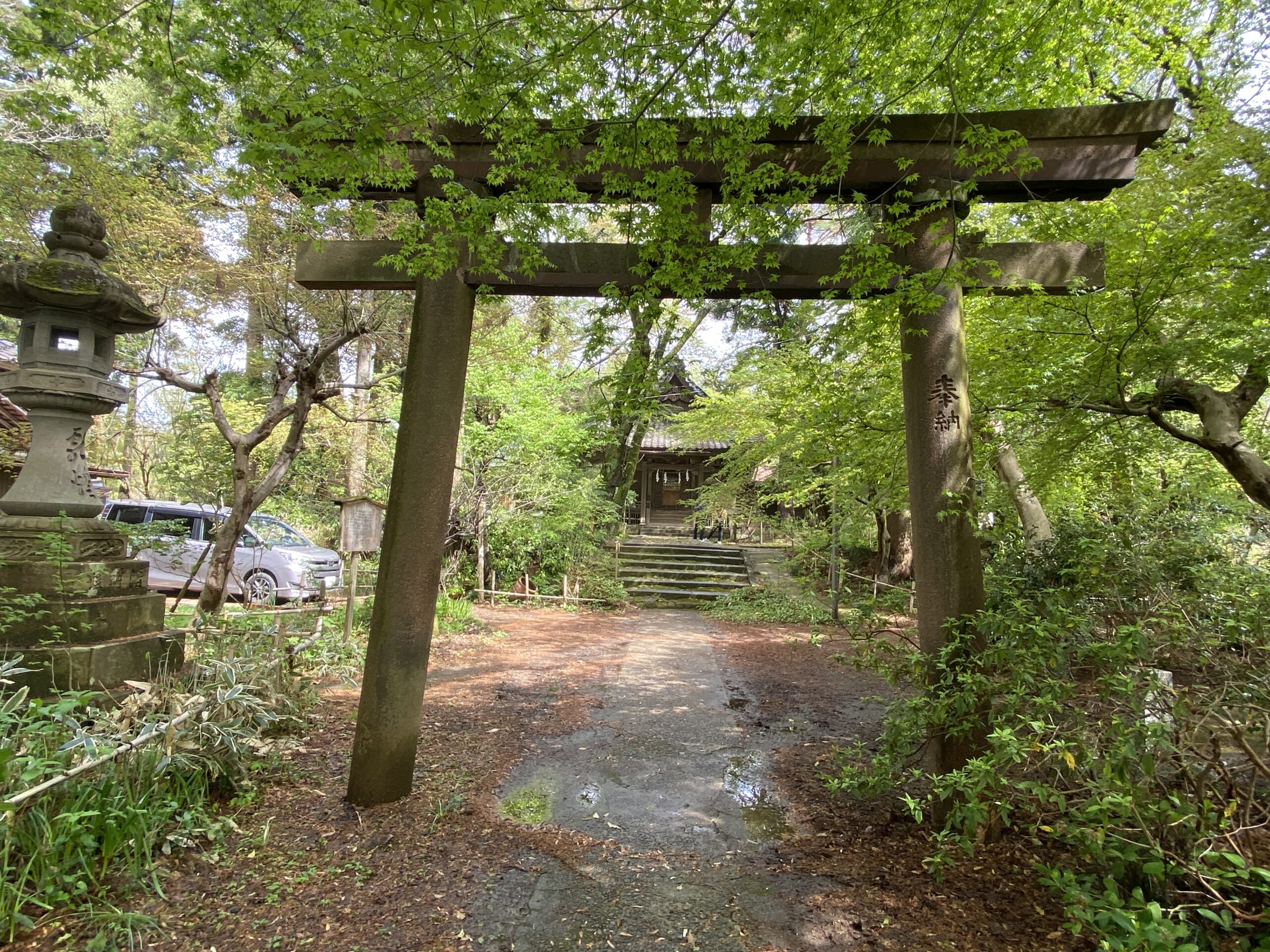
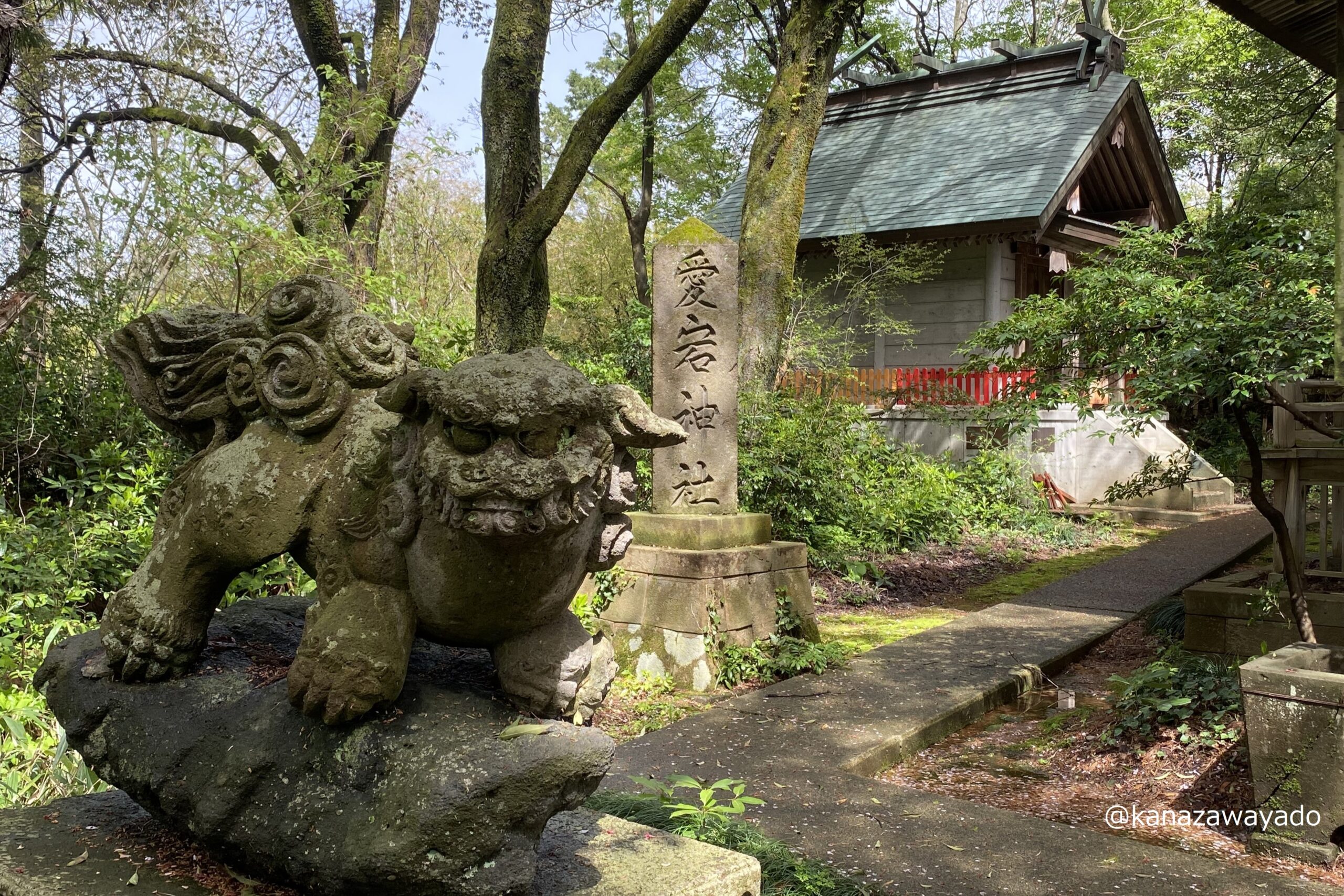
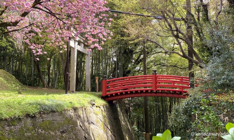
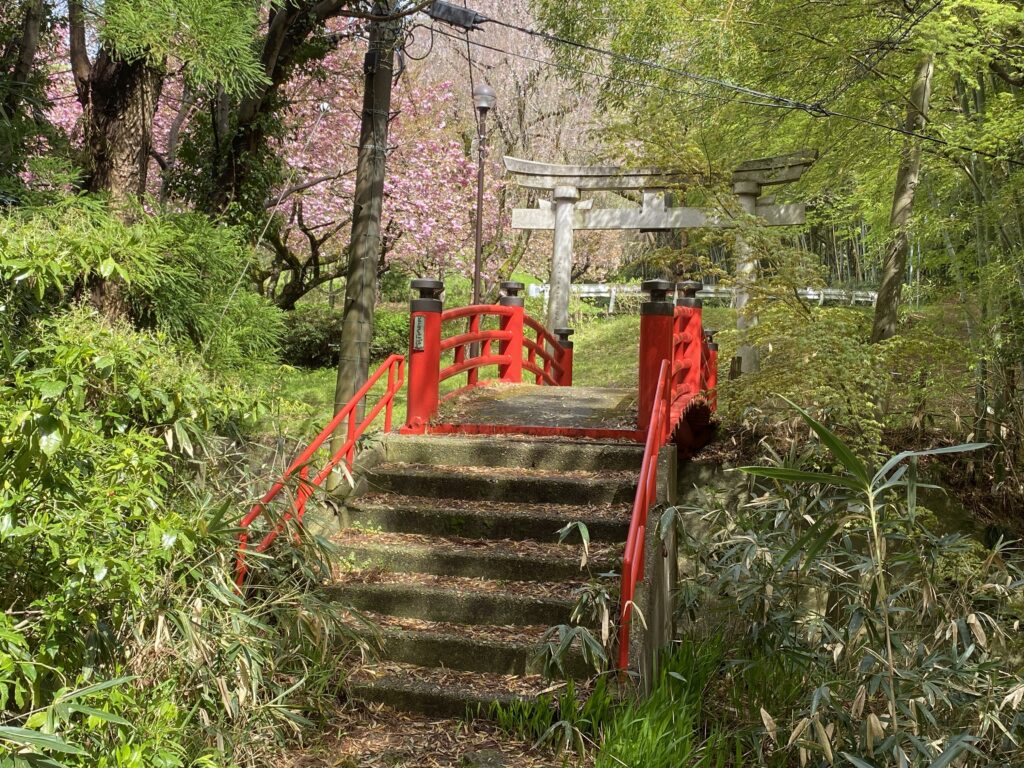
Now let’s change course to the left and go further up the hill. After walking for a while, there are three old shrines. They are small buildings, but each one has a long history. Walk along the path to the right of the shrines, you will see a red Japanese-style bridge and a torii gate.
A café and scenic overlook
Cross that red bridge and you will find another boardwalk off to the side of the roadway. Continue on, taking in the surrounding scenery, and you will come to a café. You can take a coffee break or continue on all the way to your destination. From the café, walk out onto the roadway for a short while and you will arrive at your destination, the scenic overlook.
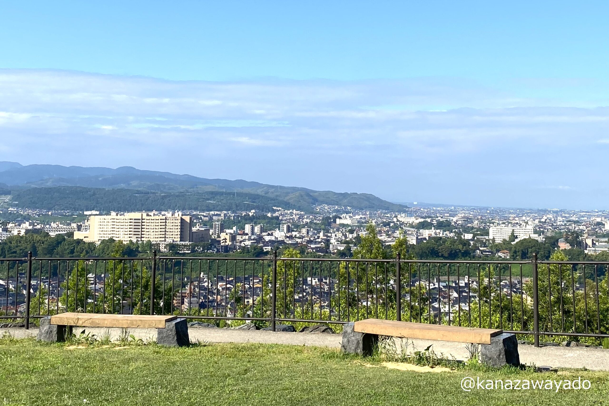
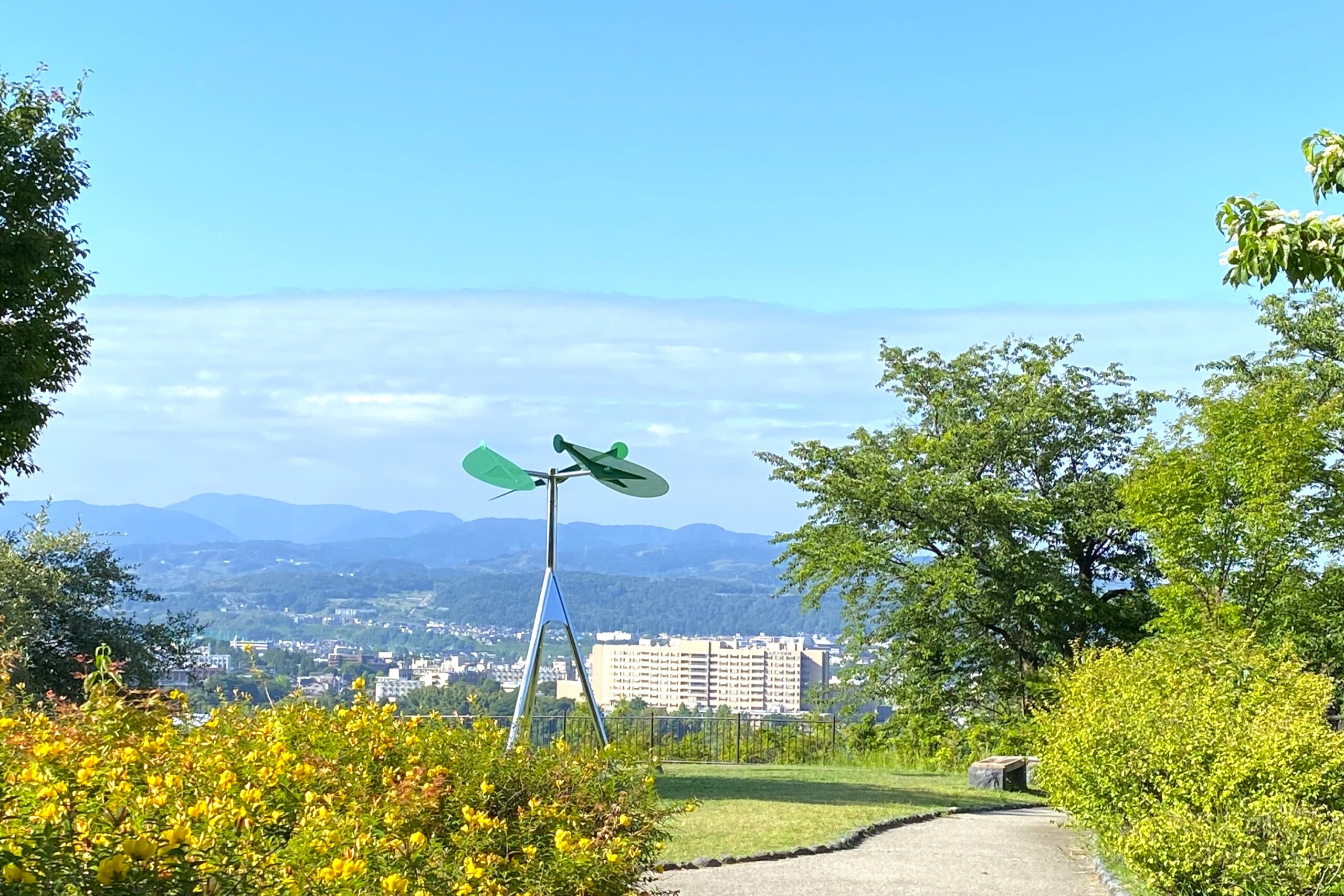
Admire the view from the scenic overlook!
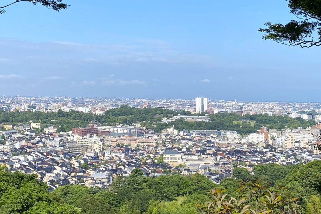
From this location, you can see Kanazawa in all its diversity: the mountains that are snow-capped until May, the river terraces along the Asano River, the buildings in the Kanazawa Castle Park, the green of the Kenrokuen Garden, the straight line of the Hokuriku Shinkansen Line, and even the sunset over the Japan Sea.
Notes
Please do not hike in the mountains early in the morning or at night as it is dangerous. If you want to enjoy the night view, I recommend taking a taxi. Depending on where you get on and get off the taxi, the fare is usually between 3,000 yen and 5,000 yen. Especially in the summer, I also recommend using insect repellent for the hike.
Read the Japanese version of this article
Map